The weathered Boone Formation limestone that underlies much of Fayetteville creates a subsurface where rock rippability and soil stiffness can shift abruptly over short distances. On the University of Arkansas campus expansion projects alone, we have seen shear wave velocities jump from 350 m/s in residual clay to over 800 m/s in pinnacled bedrock within a single survey line. That kind of contrast makes the MASW method particularly valuable here, because it averages these lateral heterogeneities into a shear wave velocity profile that the IBC and ASCE 7 can actually use. The 36th parallel latitude puts Fayetteville in a region where the New Madrid Seismic Zone still generates long-period ground motion, even at a distance of roughly 300 miles, so site classification based on VS30 is not just a paperwork exercise. When the karst voids are suspected, we often pair the surface wave data with a targeted resistivity survey to identify air-filled cavities before interpreting the velocity model.
A VS30 measurement is not just a number for the permit drawing; it is the parameter that decides whether your Fayetteville site sees a 10% or a 70% increase in design base shear under ASCE 7.
Scope of work in Fayetteville Arkansas
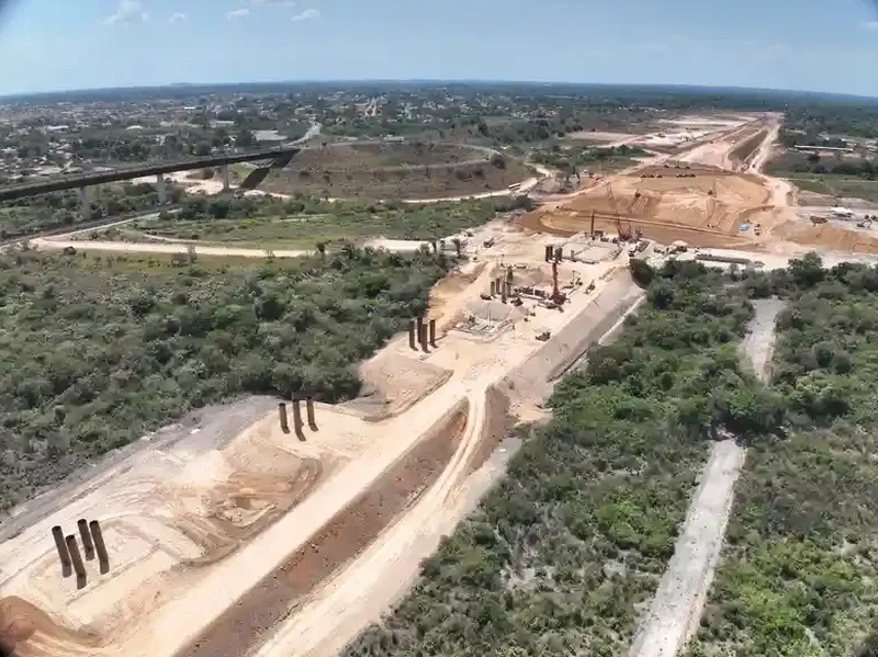
Critical ground factors in Fayetteville Arkansas
ASCE 7-22 Section 11.4.3 requires a site-specific ground motion analysis when Site Class F is present, and in Fayetteville the karstic limestone with potential for subsidence can push a site into that category quickly. The risk is not just regulatory delay — a misclassified Site D instead of C adds a short-period site coefficient of 1.3 instead of 1.0, potentially adding five figures in unnecessary foundation steel. Liquefaction is rarely the driver here, but the deep alluvium along the White River tributaries can amplify long-period motion, and the VS30 profile is the first line of evidence for a liquefaction screening when the groundwater table is shallow. Our team has reviewed enough Ozark borehole logs to know that a single N-value from an SPT spoon can be misleading in cherty ground, which is why the geophysical average from MASW often saves the structural engineer from designing to a worst-case assumption that the subsurface does not actually deliver.
Our services
Our Fayetteville geophysics group provides the MASW service as part of a broader site characterization package, and the three configurations below cover the most common requests from structural engineers and architects working in Northwest Arkansas.
VS30 Site Classification Package
One MASW line with passive roadside MAM extension, processed to deliver a signed VS30 value, NEHRP site class letter, and the 1D shear wave velocity profile. Accepted by City of Fayetteville Building Safety for IBC compliance.
2D Shear Wave Cross-Section
Two or more parallel MASW spreads gridded across the building footprint, inverted jointly to produce a 2D VS cross-section. Useful for irregular foundations and sites where bedrock depth varies by more than 5 meters from corner to corner.
Combined Seismic Refraction and MASW
Shared spread acquisition where P-wave tomography from refraction constrains the MASW starting model. Recommended for Boone Formation sites with suspected pinnacles or buried chert float, where the velocity contrast between soil and rock is extreme.
Common questions
How long does a MASW survey take on a typical Fayetteville lot?
A single-line active MASW acquisition with 24 geophones takes about 90 minutes of field time. Adding passive MAM for deeper coverage extends the session by roughly 45 minutes. Data processing and the signed report are typically delivered within three business days.
What does MASW testing cost for a residential or small commercial site in Fayetteville?
Can MASW work on steep slopes common in the Ozark foothills around Fayetteville?
Yes, but the array must be laid along a contour line rather than up the fall line to avoid topographic effects on the dispersion curve. For slopes steeper than 15 degrees, we apply a topographic correction during processing and document the geometry in the report so the engineer can judge the uncertainty.
Does the City of Fayetteville require a VS30 measurement for new construction?
The city adopts the IBC with Arkansas-specific amendments, so any structure assigned to Seismic Design Category C or higher triggers the site classification requirements of ASCE 7 Chapter 20. In practice, most commercial, institutional, and multi-family projects in Fayetteville must provide a VS30 or equivalent site class determination as part of the building permit submittal.