The weathered shale and karst-prone limestone beneath Fayetteville create a subsurface that standard drilling alone cannot fully resolve. Seismic tomography maps velocity contrasts across the site, revealing cavities, fracture zones, and the top of competent rock without relying on interpolation between boreholes. In a city where the Boone Formation can drop into solution-widened joints within a few meters laterally, this method provides the continuous profile that geotechnical design demands. We run both refraction and reflection arrays depending on the target depth, always following ASTM D4428 field procedures. For urban infill projects near Dickson Street or deeper investigations along the Interstate 49 corridor, MASW surveys complement the P-wave data to deliver a complete VS30 profile for ASCE 7 site classification.
A velocity inversion hidden under 12 feet of stiff clay can turn a two-week excavation into a three-month headache. Tomography catches it before the bid.
Scope of work in Fayetteville Arkansas
Critical ground factors in Fayetteville Arkansas
Fayetteville sits on the Springfield Plateau, where the Mississippian Boone Formation and the underlying Chattanooga Shale meet. The contact zone is notorious for perched water and differential weathering that creates velocity inversions — a slower layer beneath a faster one. Standard refraction misses this completely. A blind inversion leads to underestimating excavation depth, which hits hard when the contractor discovers rock later than planned. We run multiple shot points and use the intercept-time method as a sanity check before accepting any tomographic solution. In the eastern parts of the city near the White River tributaries, alluvial channels cut into bedrock and fill with low-velocity silts that can mimic competent rock on a drill log if the driller is not watching torque readings. A single refraction profile across the suspected channel confirms or eliminates the risk in a day.
Our services
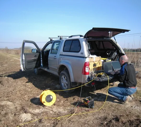
Our field teams operate across Washington, Benton, and Madison counties. Each survey includes raw shot gathers, processed tomograms, and a written report with interpreted engineering parameters.
Seismic Refraction Tomography
P-wave profiling for bedrock depth, rippability assessment, and cavity detection. Standard 24-channel spread with 5–10 ft geophone spacing. Includes velocity cross section and excavation difficulty classification per Caterpillar D8/D9 rippability charts.
Seismic Reflection Profiling
High-resolution SH-wave reflection for stratigraphic mapping beyond 60 feet depth. Suitable for deep infrastructure, bridge foundations, and landslide investigations where refraction penetration is limited. CMP stacking improves signal-to-noise in urban noise environments.
MASW and VS30 Site Classification
Multichannel analysis of surface waves for shear-wave velocity profiling to 100 feet. Delivers VS30 value and ASCE 7 site class (A through F) required by the Fayetteville building department for new commercial construction.
Common questions
How deep can seismic refraction see at a typical Fayetteville site?
With a 240-foot spread and a weight-drop source, we reliably image to 60–80 feet in the Boone Formation limestone. Deeper targets require reflection or a longer spread with a Betsy seisgun. In saturated clays of the Chattanooga Shale, P-wave velocity saturates near 5,000 ft/s and the method loses discrimination below the water table. We switch to SH-wave reflection in those conditions.
What does a seismic tomography survey cost for a standard commercial lot?
Does the City of Fayetteville require VS30 for building permits?
Yes. The Fayetteville Building Safety Division enforces IBC 2021, which requires site class determination per ASCE 7-22 Chapter 20. For sites without adequate borings to classify by N-value alone, MASW-derived VS30 is the accepted alternative. We provide a signed report with the shear-wave velocity profile and the corresponding site class for permit submittal.