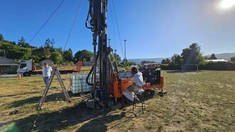
The weathered residuum overlying the Boone Formation limestone shapes nearly every excavation in Fayetteville. This geologic unit produces stiff red clay with chert fragments that can mislead an auger but reveal clear boundaries in an open test pit. Our field team logs these transitions at depths between 4 and 12 feet, where slickensided clay often signals a relict landslide surface. Recording orientation, moisture, and chert content while the pit walls are fresh gives the responsible engineer a dataset that boreholes alone rarely capture. For deeper verification we pair the pit observations with sondajes SPT to correlate blow counts with the exposed soil profile directly.
A test pit is not just a hole in the ground—it is a full-scale exposure of the weathering profile, logged while the walls are still moist and undisturbed.
Scope of work in Fayetteville Arkansas
Critical ground factors in Fayetteville Arkansas
Northwest Arkansas swings from saturated spring soils to late-summer shrinkage, and that cycle stresses shallow foundations in Fayetteville more than a textbook bearing-capacity check would suggest. A test pit exposes fissures and root casts that turn into preferential flow paths once the footing trench is open. Collapse-prone silt lenses within the residual clay are another quiet risk—they stand vertically during excavation but compress abruptly under load if not identified and removed. Our reports flag these layers and recommend undercut depths tied to the IBC's presumptive bearing table, so the structural engineer does not have to guess what sits three feet below the proposed bottom of footing.
Our services
Every test pit we open in Fayetteville is tied to a specific geotechnical question—bearing stratum verification, seepage assessment, or slope stability reconnaissance. The packages below combine field logging with the laboratory testing needed to convert pit observations into design values.
Foundation exposure pits
Excavated directly at the planned footing elevation to log bearing stratum, groundwater, and backfill requirements per IBC.
Slope reconnaissance pits
Used to identify slickensides, colluvium thickness, and weathered bedrock dip on lots steeper than 15 percent grade.
Utility trench test pits
Preview soil conditions along proposed sewer, water, and storm drain alignments before trench safety planning begins.
Laboratory correlation suite
Atterberg limits, sieve analysis, and standard Proctor testing on pit samples to validate field classifications against ASTM thresholds.
Common questions
What is the typical cost range for an exploratory test pit in Fayetteville?
How deep do you excavate a test pit for foundation evaluation?
We typically extend the pit to at least 4 feet below the proposed footing elevation, or until competent bedrock is exposed, whichever occurs first. In Fayetteville's residuum this often means depths between 8 and 14 feet below existing grade.
What safety precautions apply to test pits in Arkansas?
All pits deeper than 4 feet are either benched, sloped back at a stable angle, or shored before personnel enter. The excavation is barricaded and marked, and a standby attendant remains at the surface during logging.
Can a test pit replace a full soil boring program?
It complements borings but rarely replaces them entirely. A test pit gives a continuous visual profile of the upper 10–15 feet, while borings provide SPT data, sample recovery, and deeper stratigraphy. On many Fayetteville sites we use both to correlate near-surface observations with deeper conditions.